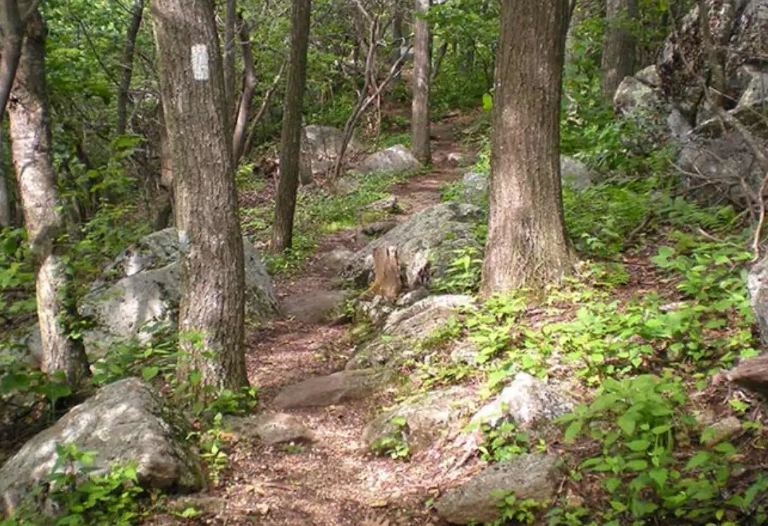
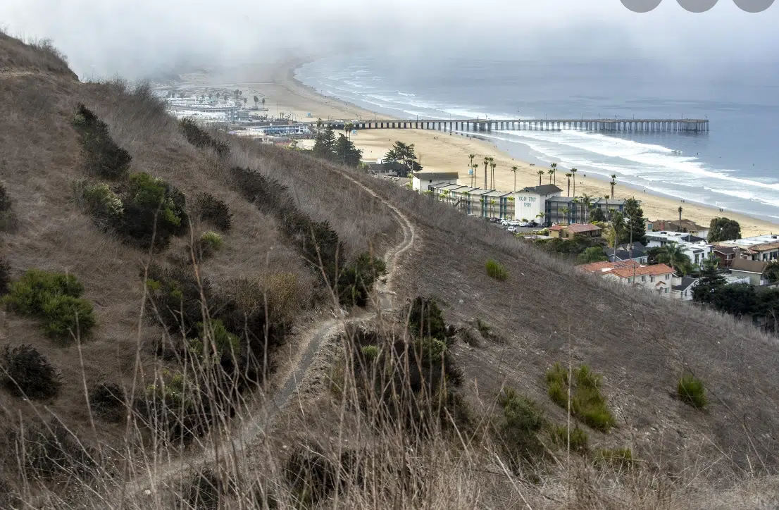
Mostly there is no paving on beaches and walking there is usually welcome. On most shorelines, the public has a long-standing right to “lateral” access. This means that people, in ones and twos and threes, can move down the beach along the wet sand between high and low tide – a zone that usually is publicly owned. Waterfront property owners’ control typically stops at the high tide line. But as climate mayhem raises sea levels and shifts coasts and washes away beaches, property owners are trying to harden their shorelines with sea walls and other types of armoring, squeezing the sandy beach and the public into a shrinking and diminished space. But in the squeezing the making of the in/out line seems ever more important to certain parties.
Beachfront property law has evolved from ideas that date back to ancient Rome. Romans regarded the beach as “public dominion,” which the Roman emperor Justinian proclaimed: “By the law of nature these things are common to all mankind; the air, running water, the sea and consequently the shores of the sea.”
Judges in medieval England evolved this idea into the legal theory known as the “public trust doctrine” predicated on the notion that certain resources should be preserved for all to use. The US inherited this concept.
Most states with a coastline place the boundary between public and private property at the mean high tide line. Which means that usually during the day there is, at least, a sandy strip to traverse that likely matches up fairly closely to a grey line on a map that sits on a computer server in some civic office.
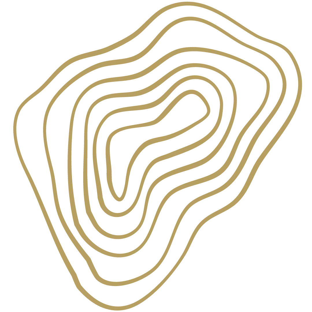
So it is hard to walk on unchartered ground. The charter, almost definitionally, makes it a place that you can walk, or would want to drag your boot heels to. That said, what a joy it is to have a secret and untrammeled place that is off the beaten path. And to know that such a space isn’t marked in any guidebook.
But not every path is officially recorded, are they? If yours wasn’t, would you miss it if it were gone? I write this not to crown the unmarked and castigate the marked and measured but just that there is a consequence to each that is usually glossed over.
Recently a writer named Coreen Grant who writes for Inkcap alerted me when she wrote:
Footpaths are a feature of the British landscape that millions use daily, but few think about twice.
In England and Wales, access to the vast majority of land is restricted. The public has access to some of these places via footpaths: an ancient network connecting the public to nature, the landscape and our predecessors on these islands.
The reality is that, in five years’ time, many of these footpaths will be wiped off the map forever. Campaigners refer to it as “the Extinguishment”. The deadline for footpaths to be recorded was set for 2026, and any footpath or bridleway created before 1949, which is not recorded on a “definitive” map, will at that point cease to legally exist.
Unless, that is, a member of the public comes to its rescue. With researchers estimating that every county has hundreds of unrecorded public rights of way, it is clear that a colossal task lies ahead.
With the extinguishment of these footpaths comes an enormous reduction in countryside access: while walkers in Scotland have a right to roam, the average person is considered a trespasser upon 92 percent of the English landscape. What freedoms do currently exist could be further restricted by the government’s recent proposals to make trespassing a criminal, instead of a civil, offence.
I highly suggest the rest of the piece because it points to a possible tremendous loss of a people to even know the place they reside.
In the piece I was introduced to the UK group Slow Ways
They describe themselves thusly
“Slow Ways is an initiative to create a national network of walking routes connecting all of Great Britain’s towns and cities as well as thousands of villages.
Using existing paths, ways, trails and roads, people can use Slow Ways routes to walk or wheel between neighbouring settlements, and combine them to create longer distance trips. It’s designed to make it easier for people to imagine, plan and go on walking journeys.
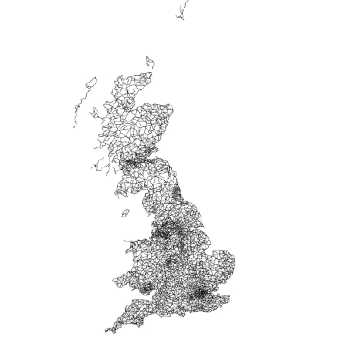
There are currently over 7,000 Slow Ways stretching for over 100,000km. This network of routes was created by 700 volunteers during the Spring 2020 lockdown, creating a unique Slow Ways map in the process.”
This is human scaled knowing of a place and a real kind of response to the times where you must be marked lest you be vanished. And this approach might not be transplantable for the US due to the scale…but maybe it is! But more than that, it just might be a counsel of round raised hills in the face of reading from the Volumes Of Despair. The counsel? Walk the worthy and rare paths. Tread towards that rare oaked valley, get chased out of glades by cawing throngs at midnight, shuffle prayerfully through the roots and vines down the animal way to the river for sunrise dip. A trail is made deeper and more dependable by its use. Make the ways worth knowing well walked. Make them in the place you live as much as that you join up with. So in matter of culture the well walked road matters. The weaving, the carving, the cooking. And in this case, the walking.